Thursday, June 30, 2022

Thomson Dam Overlook

The Thomson Dam is the primary dam of the Thomson Project which is composed of more than a dozen dams and control structures. The project supplies enough power for all of the homes in Duluth, Minnesota.

The dam and tannin tinted waterfalls can be viewed from the parking lot. An interpretive sign has information about the dam, hydro plant, and the surrounding area.

The parking lot is surfaced with rough gravel making pushing a bit difficult.

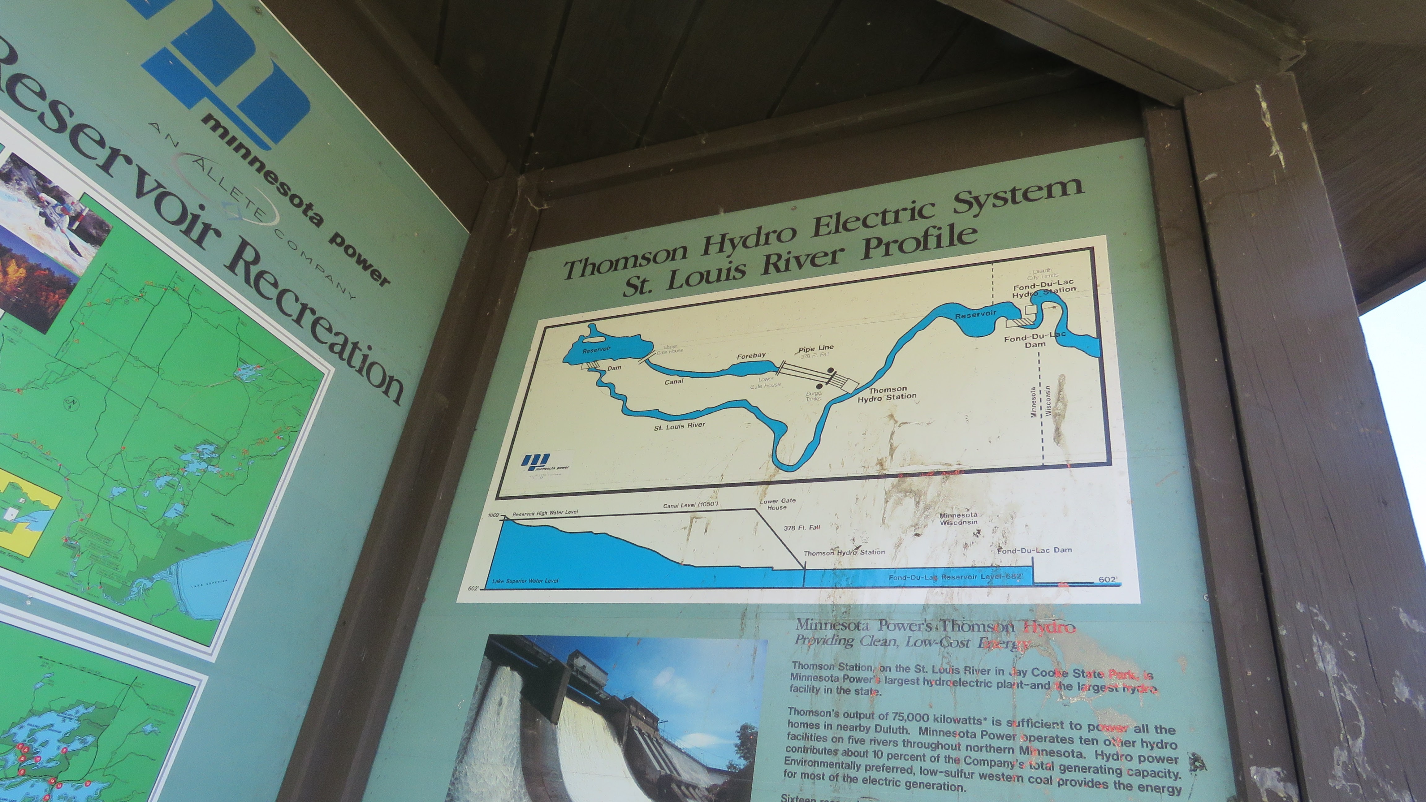
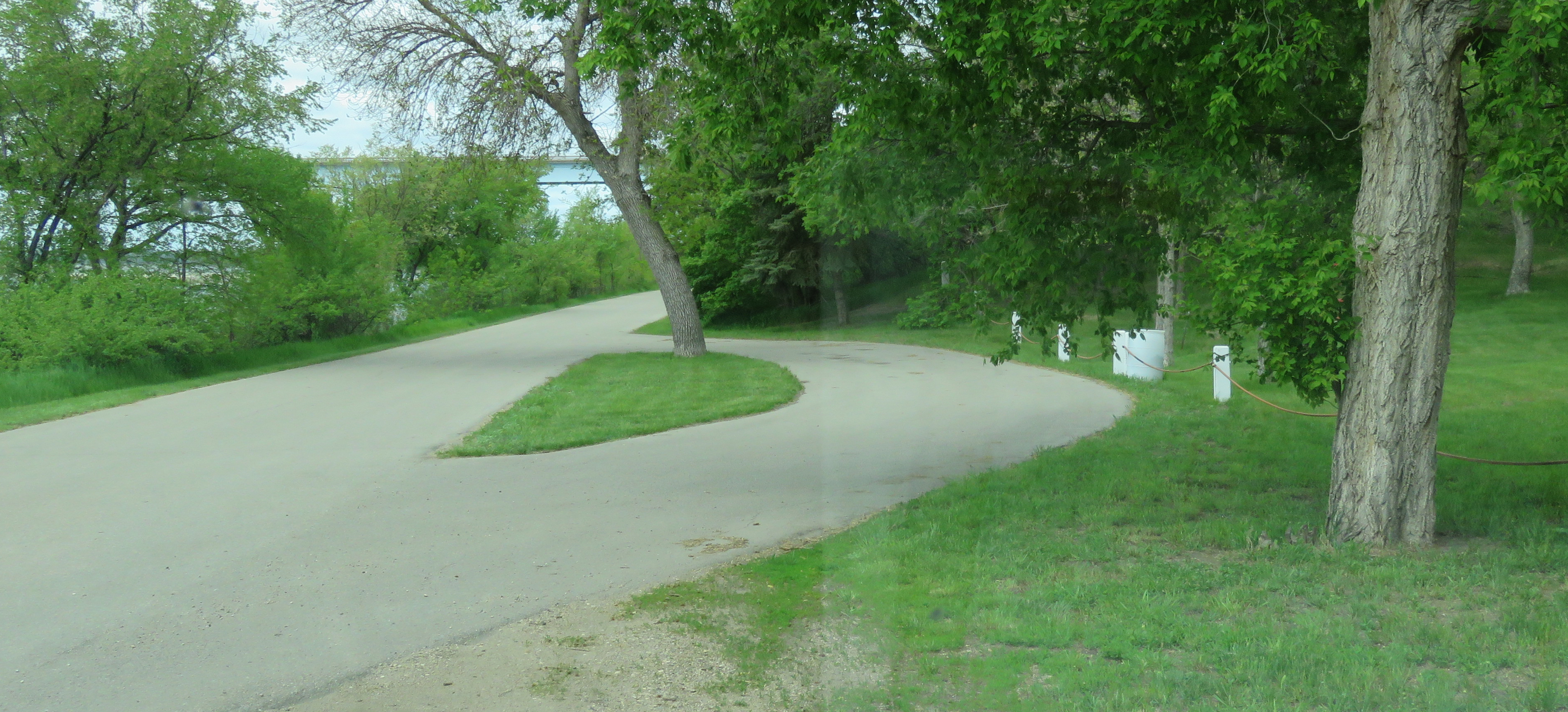
The parking lot is large enough for any RV. Dam  46.66532, -92.40426

Wednesday, June 29, 2022

Paul Bunyan Historical Museum

If this Paul Bunyan Statue ever stood up he would be the world's tallest but instead he's kneeling and inviting visitors to sit in his palm. The statue, made of rebar, fiberglass, and 4.5 tons of welded steel, was built in 1980s by Dean Krotzer with the help of his six grown sons and a son-in-law.

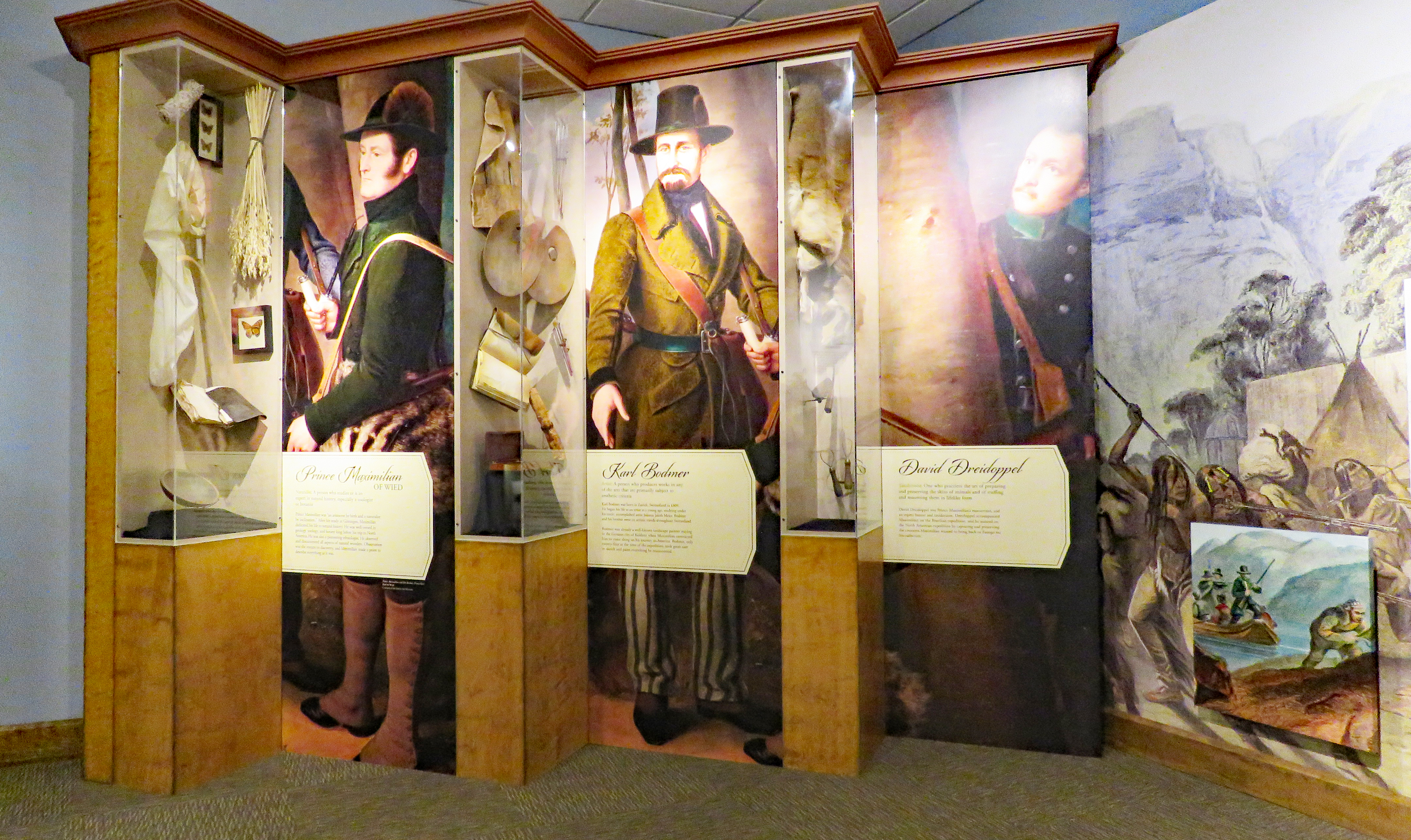
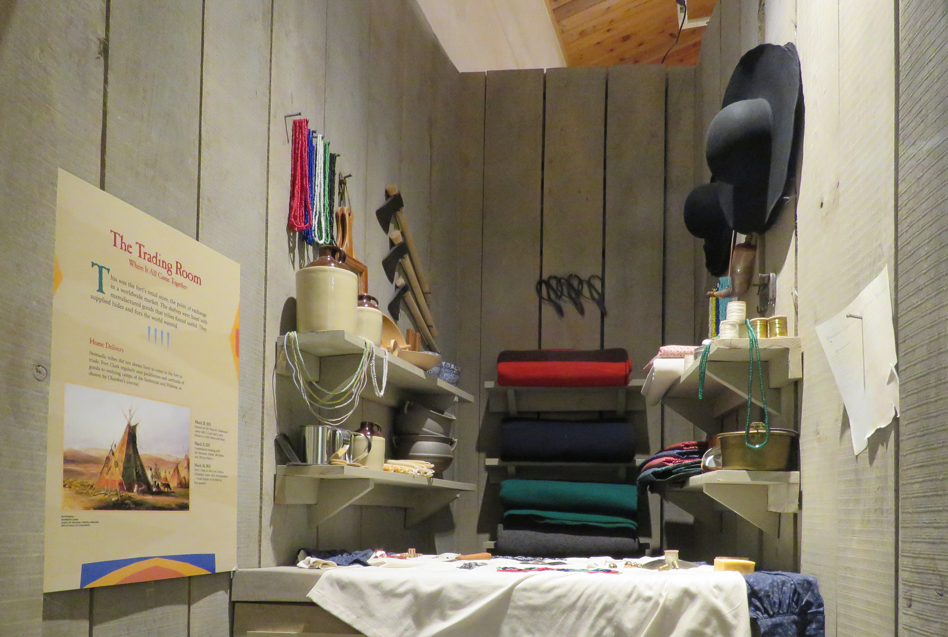
The site includes a small museum with a random collection of donated items.

Both the museum and the area around the statue are accessible. 

Parking is available on the street. Paul Bunyan  47.00334, -94.73026

Monday, June 27, 2022

Ronald Reagan Minuteman Missile State Historic Site

In the early 1960s 150 Minuteman II missile and silo bases were built in North Dakota. The Midwest was chosen for the bases because of the low population, the room to widely separate the bases from each other, and the ability to launch the missiles over the Arctic to targets in Russia. The bases were closed and the missiles sent elsewhere after the Strategic Arms Reduction Treaty was signed by the United States and the Soviet Union in 1991. There are still 15 manned launch control facilities and 150 Minuteman III missile silos in North Dakota.

The base has two separate units - the Launch Control Center consisting of  above ground support buildings and below ground capsules housing the equipment for monitoring and launching missiles, and the Launch Facility, located 5 miles away, which housed the missile. Both the above ground and below ground buildings at the Launch Control Center are opened to guided tours. The Launch Facility has been decommissioned. The missile was removed, the site cleaned, and the hole filled. Interpretive signs are located on the site which is a gravel pad surrounded by chain link fence.


The support buildings were remodeled in the 1970s to include a TV room and a game room. Personal were on duty 24 hours a day, 365 days a year, and consisted of an eight-person security and maintenance team, a manager, chef, and other support members. Two-member missile crews worked 24 hour shifts underground while they monitored the missiles and awaited orders.

The Launch Control Center is totally accessible inside but there's a high threshold and a heavy door at the entrance. The gravel at the Launch Facility may make pushing difficult.

The Launch Control Center has a small parking lot where RVs will fit but turning around an RV with a towed vehicle may be difficult. The Launch Facility has a narrow road that does not have room to turn around so backing out is the only option. Missile Site  47.49739, -98.1272

Saturday, June 25, 2022

Glenfield City Park Campground

Heavy spring rains made the ground of the camp area too soft to safely drive on so we parked in the gravel by the playground. The sites are not marked and it may be  difficult to navigate a large RV between the numerous trees. Amenities include water, picnic tables, restrooms, a playground, and limited electricity. Payment must be mailed in. Campground  47.4564, -98.56522

Thursday, June 23, 2022

Washburn Riverside Park

This is a good place to stay if you want to visit the Lewis and Clark Interpretive Center in Washburn. The park is small with a mile of river front property featuring a boat ramp, restrooms, picnic shelters, a playground, a Frisbee golf course, a paved trail, and a paved, pull through camping site.

The campsite is not marked but there is a sign between it and the playground. We parked in the gravel pull off by the playground to leave the site open for other campers which wasn't necessary because this campsite is not listed anywhere except on the city website so few people know about it.  The sign is missing contact information but the information is on the city website.  We stayed over Memorial Day weekend and did not receive an answer to our email or phone message. We spent a quiet night and morning without anyone visiting the park most likely due to the cool windy weather.

The paved trail is accessible as is the deck of a restored, historic ferry boat on display in the park. The restrooms and picnic tables do not appear to be accessible but we did not check them out.

The paved pull though site is long enough for any RV.  Park  47.28894, -101.03767

Wednesday, June 22, 2022

Lewis and Clark Interpretive Center

The exhibits on the Lewis and Clark Expedition touch on some of the major events but don't delve deep into their journey. Instead the museum focuses on other aspects of North Dakota history - explorers who came after Lewis and Clark, Native Americans who lived in the area, the Fort Clark trading post, agricultural advancements, and mapping the west.
 
 
Everything is accessible.

The parking lot has long RV spaces. Museum  47.30169, -101.04041

Tuesday, June 21, 2022

Knife River Indian Villages National Historic Site

For more than 500 years the  Awatixa, Awaxawi, and Hidatsa Native American tribes lived in Upper Missouri River valley in villages on terraces above the river in the summer and in the flat land along the river in the winter where trees and the cliffs blocked the winter winds. The summer villages could have up to 120 lodges each sheltering between 10-30 people.
 
This was an important central location for a trading network that stretched from the Great Plains to the Gulf Coast, and the Northwest Pacific Coast. The local tribes acted as middlemen. Items traded included beans, corn, hides, tobacco, tools, and shells. After contact with Europeans guns, cloth, manufactured beads, and iron pots were introduced. A smallpox epidemic in 1837 decimated the tribes and by 1870 most of the people were living in the Fort Berthold Reservation which covers a small portion of their original territory.
The historical site has a visitor center, a reconstruction of an Hidatsa lodge, and a trail to the village sites. The visitor center and lodge are accessible. The trail to the villages is crush gravel and my be accessible with help. Due to cool, windy weather we did not go on the trail.
The parking lot has long RV spaces. Historic Site  47.33128, -101.38643

Monday, June 20, 2022

Eagles Campground or a Free Lot?

Beulah, North Dakota is a small town in the middle of the state. It's economy is based on low grade coal which is pit mined and eventually converted to methane. Our interest was Riverside City Park at the south edge of the town and Eagles Campground, adjacent to the park, where we were planning to spend the night. But this is where we ended up instead.
When we arrived at Eagles Campground we found it completely empty and deserted looking. The address on the sign is incorrect. A quick search yielded a phone number however we were informed that the man in charge of unlocking the dump station was gone for the weekend. The campground is unappealing and, for us, not worth the money without a dump station which is how we ended up just a few blocks away at a free, city parking lot. I've since discovered that camping is also permitted at the much more attractive Riverside Park but it's lacking a dump station. I recommend reserving a site online if you wish to stay at either park just to avoid confusion and inconvenience. The free lot was noisy due to very close train tracks. Train noise may also be a problem at both parks. Eagles Campground  47.25535, -101.78631
city lot sign

Friday, June 17, 2022

Theodore Roosevelt National Park - North

The park has three units, South, North and Elkhorn Ranch, all within the Little Missouri River National Grasslands. Each has a separate entrance. We visited the South Unit in 2015 and  the North Unit this time. The North Unit has a 28 mile out-and-back scenic drive, a campground, and a temporary visitor center. We did not go to the visitor center. The scenic road has pull offs, overlooks and access to several trails. The trails form a long loop of over 25 miles or can be hiked individually.
Very little is accessible so this is mostly a scenic drive for people with mobility issues. The Little Mo Nature Trail is paved and accessible but a couple sections were flooded during our visit so we had to backtrack. The trail starts at the campground office where there's a small parking lot. Large RVs will not fit.
The Cannonball Concretions Pullout is large enough for RVs. The round sandstone rocks are visible from the parking lot but the trail is not accessible.
River Bend Overlook has a short, hard-packed and accessible gravel trail to a view of the Little Missouri River floodplain. The trail continues down steps to a shelter built by the CCC in the 1930s. The parking lot has room for RVs.
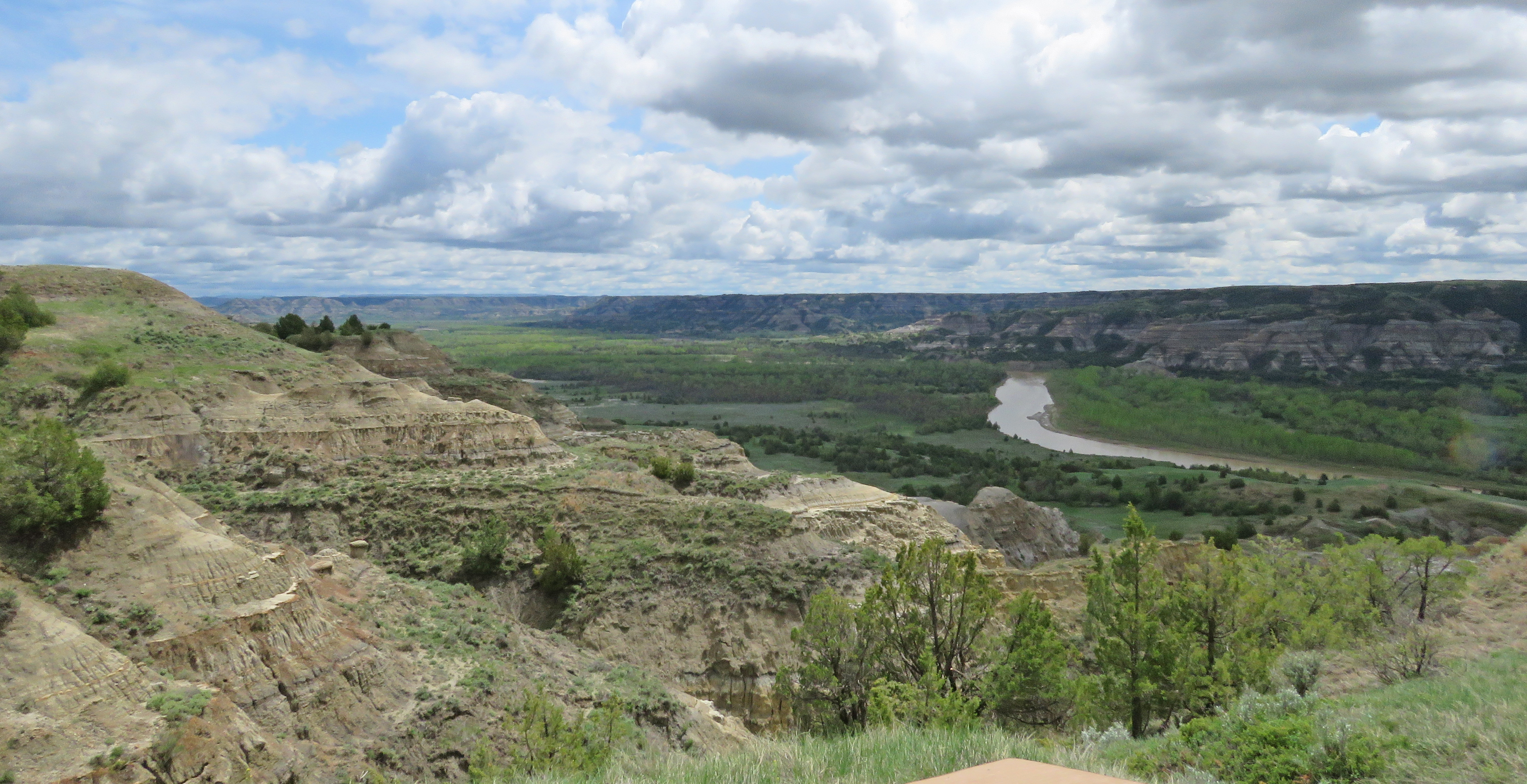
Oxbow Overlook has RV parking spaces but the parking lot is sloped. The trail to the overlook is paved and has uphill and downhill grades. Wheelchair users may need assistance.
The campground has an accessible site directly across from the pay station. All of the sites are paved so most are usable although they don't have accessible tables. We chose one with a short path to a view of the river. Park  47.59966, -103.25582