Wednesday, April 28, 2021

Silver Reef Museum

  Silver was discovered in the sandstone at Silver Reef in 1866. Silver in sandstone is unusual and the discovery was dismissed until 1875 when a couple of speculators staked 21 claims in the sandstone hills. The ensuing silver rush brought enough people to town to support a mile long main street with a hotel, boarding houses, nine stores, six saloons, five restaurants, a bank, two dance halls, a newspaper  and eight dry goods stores. By 1884 labor disputes, falling silver prices, and water in the mines lead to the closure of almost all of the mines.

  Most of the buildings were sold for their lumber and stone. The only original buildings still standing are the Wells Fargo Office and a small jail. Several more have been reconstructed. The ruins of a few remain but new houses have been built just outside the park boundary.

  A nice little museum is housed in the Wells Fargo Office. The Cassidy Powder House has been reconstructed and has a diorama of Silver Reef, models of the mining structures, and an audio narrative of the town’s history. A trail makes a 1/2 mile loop past the ruins. Pick up a trail guide in the museum.
  This is not a very accessible site. The sidewalk to the museum entrance does not meet flush with the ground making a short step up. The first section of the museum and gift shop is accessible. The second section is accessed by a high step. The path is surfaced with loose stone which is difficult to push through even with assistance. The Cassidy Powder House is accessible.
  The parking lot is large enough for RVs. Museum  37.2526, -113.36707

Sunday, April 25, 2021

Route 17 Boondocking

For being not even a mile off of the interstate, this is a surprisingly nice boondocking spot – quiet and scenic.  Unfortunately, some short sighted jerk thinks this a good place to dump their trash and old furniture.

  The trashed spot would be great if not for the trash because it’s large enough for several vans or RVs. We camped across the dirt road with the trash out of our line of sight. There’s also another option closer to the entry road that’s not very level but worked fine for a tent camper. Drive in at least that far to make sure you’re on BLM land. A short rocky ridge blocks interstate traffic noise. Boondock  37.27556, -113.3079

Thursday, April 22, 2021

Toniquint Park

  Although this park is rather small, it’s packed full of things to do. It features picnic shelters, tennis courts, a demonstration garden, a nature center, an all abilities playground, and access to a paved trail.

  The Santa Clara River Trail runs for 2.8 miles from the South Gate Golf Course ( where it intersects with the Virgin River Trail)  to Cottonwood Cove Park. This is an urban trail, passing by businesses and even following the road for a short section. The deceptively small trickle of the Santa Clara River supports a green wetland.  In the spring of 2005 flooding ripped away river banks and toppled houses that had been built to close to the edge. Informative signs at Cottonwood Cove Park tell the story of the flood. The trail is accessible.

   Plants that grow well in the different regions of Utah are featured in the demonstration garden which helps homeowners select the best plants for their landscaping. The paths are surfaced with small, loose gravel and are very difficult to push through.
  The nature center features a little pond with ducks, geese, turtles, and fish plus a network of dirt trails. The trails are hard packed. Some wheelchair users will need assistance. 
   We did not checkout the playground but I wish that we had. It’s sounds like it’s been designed well.

   We parked in the last parking lot at the end of entry road. The road loops around so exiting is easy. The parking lot at the demonstration garden looks good too. All of the spaces are short so RV must be parked across the spaces. Park  37.07949, -113.59807

Monday, April 19, 2021

Desert View Overlook & Scenic Drive

  The overlook is located a few miles south of the intersection of Route 156 and Route 158, along the west side of the 41 mile scenic drive loop. Two large areas give unobstructed views of the Mohave Dessert and the Nevada Test Site which was used from 1951 to 1992 to test nuclear weapons. 921 of the 1,021 detonated were underground and left craters on the surface. We couldn’t see the craters but I think they would be visible with binoculars.
  From 1951 to 1962 tests were conducted above ground. The mushroom clouds created could be seen in Las Vegas and tourists drove to the overlook for a better vantage point. The fall out skipped  the Las Vegas area but adversely affected people farther east in rural communities and St George, Utah where there was a spike in cancer cases for decades.

  Informative signs about the Native America tribes, geology of the region, flora and fauna, and nuclear testing are located along the trail and at the two overlook areas.

  The trail is short, less than 1/2 mile round trip, and completely paved.  It’s ADA compliant but  it goes downhill the entire way so keep the push back up in mind. Signs at the first overlook area block the view for wheelchair users. The second overlook area has breaks in the line up of signs so everyone gets a good view. All of the signs are low enough to be easily read.
  The overlook has several spots designated for buses and RVs. The loop road is steep but doable with any RV. Each leg of the horse shoe loop extends a few miles farther into the mountains where a ski area, a lodge, trailheads, campgrounds, and expensive vacation homes can be found. We took a quick trip along these roads but we didn’t check out the oversized parking situation. Overlook  36.33618, -115.62903

Friday, April 16, 2021

Spring Mountains NRA Dispersed Camping

  The BLM land northeast of Pahrump, Nevada is a favorite camping spot in the spring and fall when lower elevations start to heat up but later in the season everyone starts looking at the snow on Charleston Peak and wondering about the temperature in the mountains. One way to get there is on Wheeler Pass Road which starts in Pahrump and runs up into the mountains for at least 10 miles before becoming a 4x4 road. We’ve never tried that, not wanting to bounce that many miles on a rough gravel road.

  A round-about way involves circling the mountain range and going up the side opposite Pahrump. A paved road makes a 41 mile horseshoe loop off of US 95. The 5000’ difference in elevation means a 10 – 20 degree drop in temperature and trees instead of desert shrubbery. The scenery is spectacular but there aren’t many flat boondocking spots so arriving early in the day is a must. (unless you have friends who will save you a spot. Thanks Kathy Lee!) The boondocking spots are not good for large RVs but there are also three national forest campgrounds with first come/first serve sites and reservable sites.

The ground is soft so rolling around is a bit difficult. Boondocking  36.34157, -115.6489

Wednesday, April 14, 2021

China Ranch Date Farm

  The dirt road to China Ranch Date Farm winds through a narrow canyon with high walls composed of sediment deposited over thousands of years. This dry, hot land can support little life so when the Amargosa River, which usually runs underground, bubbles above the surface at the bottom of the canyon, a small wetlands, home to a variety of desert animals and over 225 species of birds, is created.
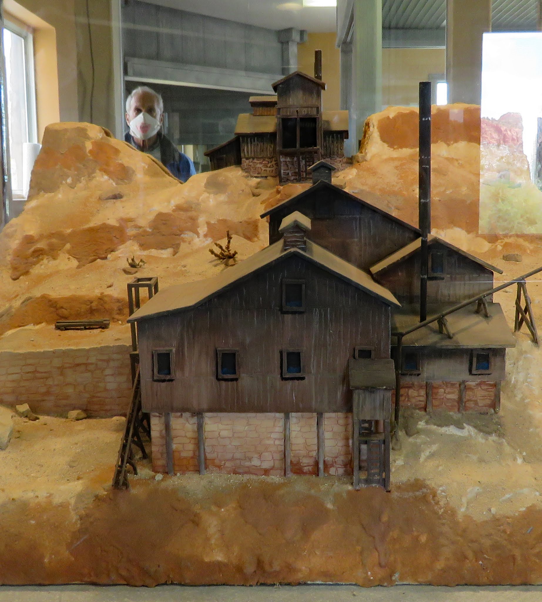
   The river also makes the date farm possible. The dates trees were planted in 1920 and each female tree yields between 100 to 300 pounds of dates a year.  The current owners of the farm have kept the China Ranch name which originated in the late 1800s when a Chinese man began growing  fruits and vegetables, and raising meat for the local mining camps. Look for the mine openings as you drive through the canyon.  The farm has a gift shop where visitors can buy dates, baked goods, candy, honey, jams, jelly, crafts, souvenirs, and date shakes.
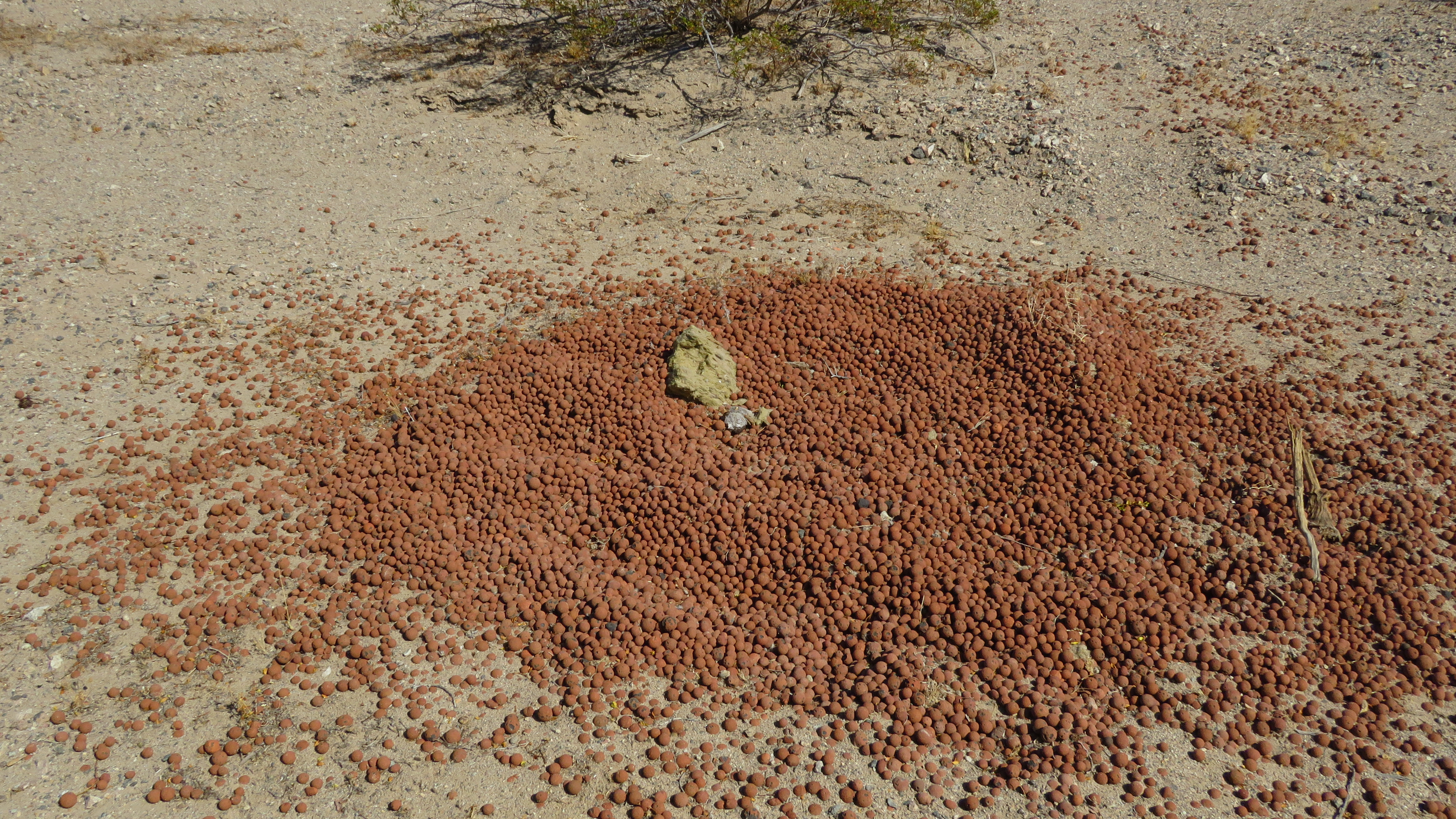
There are six trails on the farm. We walked rolled a short distance on the Slot Canyon Trail until it became too difficult. We made it about 1/2 mile to the ruins of a stone building that dates back to the mining days.
The trails are not accessible but short distances are possible with assistance. The gift shop is accessible.

The road through the canyon is washboard, steep, and has a short section that’s only one lane but it’s navigable with any RV. The parking lot is large enough for any RV. This is a Harvest Host site. We wanted to stay overnight but due to coronavirus only one RV at a time is permitted and we didn’t make a reservation early enough. Farm  35.79958, -116.19514


Monday, April 12, 2021

Boondocking near Kelbaker Road–Mojave NP

  This is our second trip through Mohave National Preserve. When we visited in 2015, I thought that dispersed camping was not permitted in the preserve. I either read the information wrong or the rules have changed. Whichever it was, this trip of a scenic drive through the preserve was a good chance to try dispersed camping.

  My first choice was a dud. After bouncing down a dirt road for only 1/2 mile we came to deep wash that we didn’t want risk driving through. I didn’t have a second choice, just the recollection of seeing a scattering of sites on the preserve website. So off we went to try the next dirt road and there we found a beauty of a campsite – large, scenic, tolerably level, and with plenty of evidence that it was previously used, a requirement by preserve regulations.

  Scenes along Kelbaker Road from south to north. Dispersed Camping  35.24794, -115.89057


Thursday, April 8, 2021

American Mine Road Boondocking

  American Mine never amounted to much – just one shaft and no activity since 1940 but the road to the mine led us to a great boondocking spot. And a mystery – why is there a pile of taconite pellets in the Mojave Desert?
  This is another boondocking spot where it’s easy to accidentally end up on private land because of the blocks of private land in the middle of large swathes of BLM land. We may have gone just a bit too far south on a dirt road off of American Mine Road and crossed the BLM boundary.
  The network of dirt roads are too soft for wheelchairs but would be fine for hiking. Some traffic noise that dies down at night. BLM   34.44173, -115.74246