The
Lewis and Clark Expedition camped above the confluence on their way west and again as they made the return trip to Washington DC. Both men were impressed with the view but the rivers have changed course and the interpretive center hill is not quite high enough to get a good view of the Yellowstone joining the Missouri.
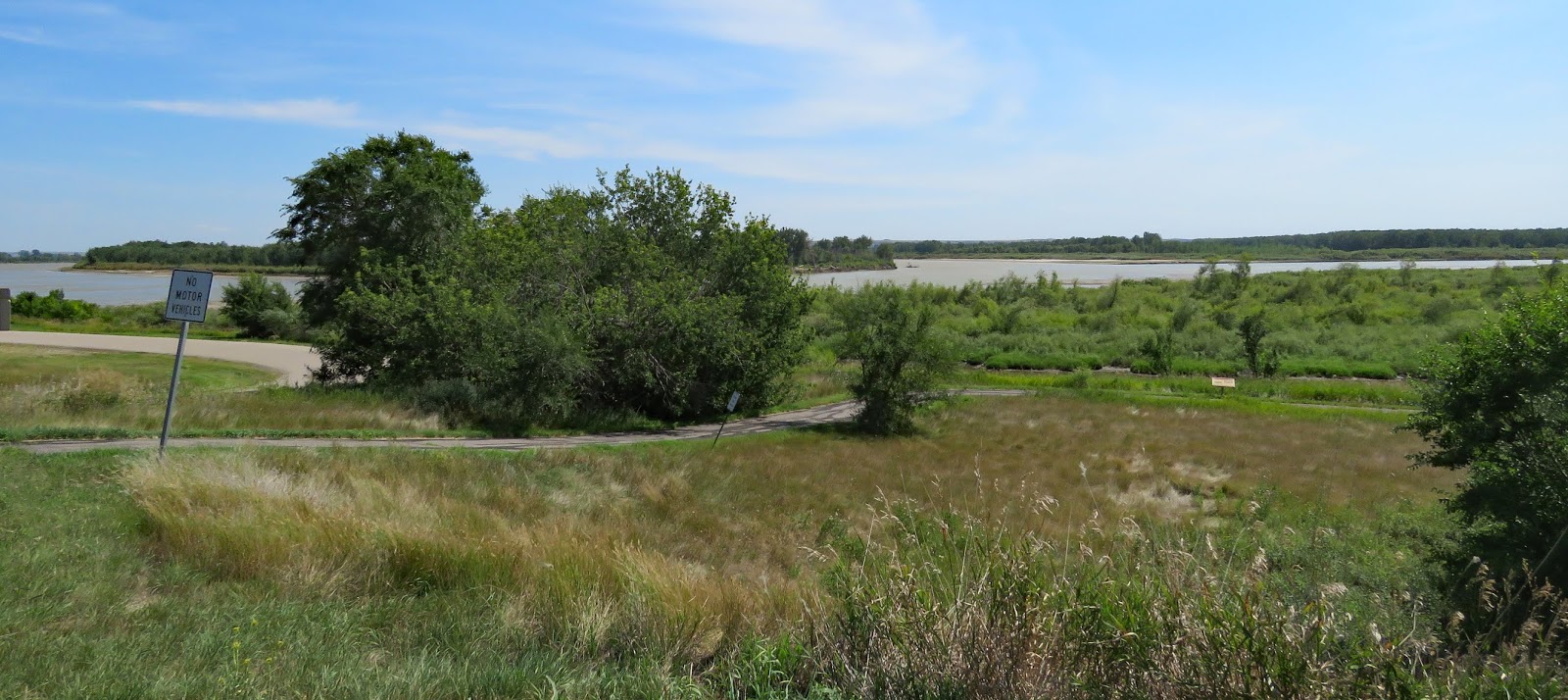
The center is small with two exhibit galleries. The larger, permanent one covers the history of the area. The changing exhibit gallery, when we visited, had the story of rural electric co-ops. Electricity didn’t reach some rural areas until the late 1940s and early 1950s, but when it did it brought vast improvements to people’s lives. Besides the exhibits there’s 1/3 mile paved trail with interpretive signs that follows the bluff along the river.
The interpretive center is accessible. The paved trail is in rough condition and has steep hills so it is not accessible without assistance.
The parking lot is large enough for any RV.
Center 47.98495, -103.98971


I think this is one we missed, but we enjoy Lewis and Clark exhibits. If we get up in these parts again, we'll give it a go!
ReplyDelete