.....Where to go! What to see! Will your RV fit in the parking lot? Is it accessible for wheelchair users?..... ----------------Please click on photos for a larger, clearer view. I'm not sure why they are so blurry----------------
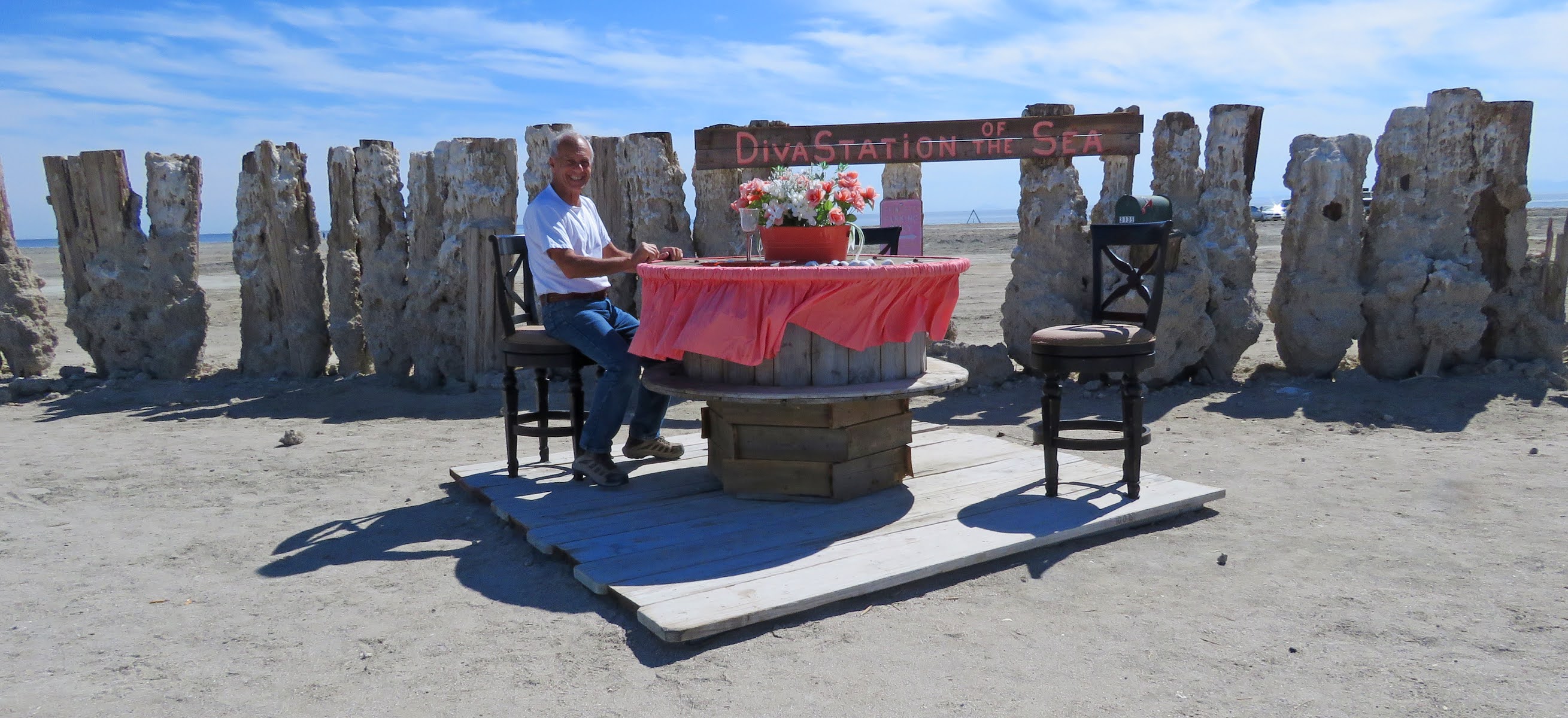
 Update 2026 - new art has been created on the beach and dry camping appears to be permitted. During the 1950s and 1960s the Sultan Sea was the place to be for summer fun of sports fishing, boat racing, water skiing, and swimming. Bombay Beach’s vacation cottages and trailer parks were filled every weekend until the floods of 1976 and 1977 destroyed half of the town. A dike was built to protect the rest of the town from future floods but declining water levels, increased salinity, and pollution from agricultural runoff contributed to town’s demise.


 The declining water level is one of the problems of the Salton Sea but in 1976 and 1977 the problem was too much water. Tropical storms flooded the agricultural towns north of the lake. When the water flowed into the lake the lake shore towns of the Salton Sea were inundated - another blow to the area that was already suffering from a decrease in tourism and declining property values.


 As a US congressman from California, Sonny Bono fought for funding to save the Salton Sea which suffers from water depletion, pollution, and too much salinity. The refuge was established in 1930 as a breeding ground for birds and wild animals, and renamed to honor Bono after he died in a skiing accident in 1998. Over 400 bird species, 41 species of mammals, 18 species of reptiles, 4 species of amphibians, and 15 species of fish have been recorded on the refuge.
The refuge features a visitor center, an observation tower, and a trail that climbs to the top of a small inactive volcano – two miles out and back.


Silty soil and gravel bars deposited along the long gone shore of prehistoric Lake Cahuilla makes finding a solid, flat camping spot a little challenging. This time (our third try) we did find a good spot. I’m not sure if it’s completely legal but we walked/rolled most of the surrounding roads and didn’t find any nearby signs prohibiting camping.
The land north and south of I-8 is designated Long Term Visitor Area by the BLM which means free camping doesn’t start until a mile past the LTVA boundary. A sign along Holdridge Road marks the LTVA boundary and another sign marks the start of 14 day free camping. We camped outside the LTVA boundary and a mile away by roadways but we may have been in the mile buffer zone.
Conditions of the network of roads on the south side of I-8 vary. Many get sloppy when wet, some dead end, and others became impassible due to the loose soil. Holdridge Road is wide and hard packed so it’s the best route to take. The road along the canal is good too but there are a few narrow section where the reeds hang over the road.


North of I-8 is the most popular area for people with a LTVA pass because of the easy access to the hot spring. We expected the hot spring (closed due to coronavirus) to be larger than it is – just three small soaking tubs and a pond signed “No Swimming”. A recent brush fire burnt all of the vegetation including the large palm trees that circle the pond. Fortunately even though the trunks are badly scorched the trees look like they’ll survive.


Long Term Visitor Area camping is less than 1/2 mile south of the I-8 but since we don’t have a pass we drove west on the power line road to the 14 day camping. The road is in good condition. Signs mark the no-camping areas and the 14 day areas which must be at least one mile past the LTVA. The signs are faded so look carefully and park on the gravel area, not in the washes.
This a barren area but good for an overnight stop or for quick access to Algodones, Mexico which is about 6 miles southeast. Pilot Knob 32.74319, -114.77751

 This county park appears to have been abandoned. We stayed here years ago and at that time there was a host and a nightly fee. Amenities included restrooms, a dump station and a dumpster. Now the restrooms are closed and the dump station and dumpster are gone. The sites and shoreline are overgrown. No fee.


Still in the desert! We went from Quartzsite to Ajo, then back to Quartzsite, and now we’re about 20 miles west of Yuma camping on BLM land at American Girl Mine. Everyone in our little group has been following the recommended safety precautions since last spring so we can relax a little around each other.
The BLM land stretches for miles in all directions with a few privately owned plots, including the American Girl Mine, the site of a gold discovery in 1892. Just about every method of mining gold has been tried here – placer mining, underground, open pit, and leaching of the waste piles. There’s still a little mining activity evidenced by the occasional loaded ore truck that rumbles down the main road.


The ground is flat and hard packed so all you have to do is find a path and drive until you like the view. American Girl Mine 32.8356, -114.81039