
The visitor center has a few exhibits with artifacts and an electronic map that shows troop movements.


The visitor center is accessible. The trails are over grassy, rough ground but may be accessible with assistance.


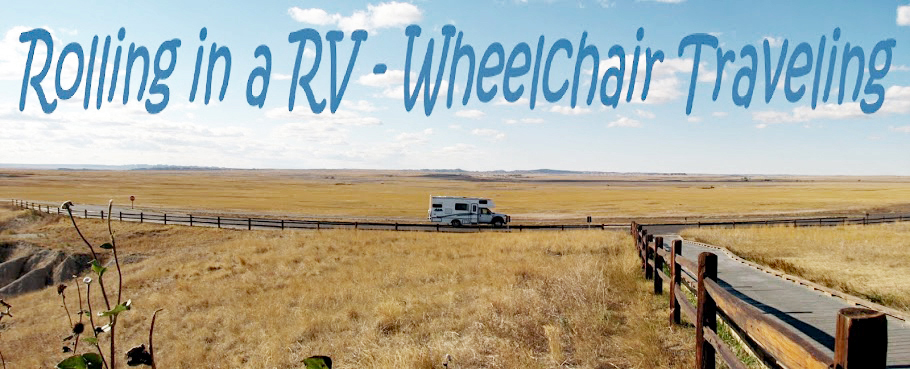
.....Where to go! What to see! Will your RV fit in the parking lot? Is it accessible for wheelchair users?..... ----------------Please click on photos for a larger, clearer view. I'm not sure why they are so blurry----------------
The visitor center has a few exhibits with artifacts and an electronic map that shows troop movements.

The camp site is a small park with a kiosk, interpretive signs, and a short trail that was paved at one time. I think the trail makes a loop but a bridge is out and part of the trail is closed.


The parking lot is large enough for any vehicle. Park 32.39561, -95.2686


The museum is small with a lot of donated artifacts including many that were found on the battlefield. Photographs are not permitted in the museum. Interpretive signs are located on the grounds.
 The museum is accessible. We did not go to the cemetery or the reconstructed cabin.


Nashville surrendered to the Union Army on February 25, 1862, less than a year after the beginning of the Civil War, and it remained under Union control until 1867. With good river and rail access Nashville was an important supply depot for the Confederate Army so holding the city was a major goal for the Union Army. A labor force of 2,768 free and run away slaves built Fort Negley as part of the defense around the city which included a 7 mile fortified line and Union gunboats on the Cumberland River.
The fort didn’t see any action and fell into ruin when the war ended and the Federal troops left. A restoration was attempted in the 1930s but it wasn’t until 2004 that the area was opened to the public as an historic site. Stone foundations trace the outline of the fort and boardwalk trails with interpretive signs follow the inside walls. A small visitor center with a few displays and two videos about the fort is located at the base of the hill where the fort is located.
The visitor center is accessible. A road which is closed to traffic circles the fort. It’s a steep hike along the road to the fort so wheelchair users will need a strong helper. We did not go to the top because even though it looks like a beautiful day in the photo it was actually windy and cold.
The parking lot is large enough for small RV. Larger RVs can be parked along the roads. Fort 36.14288, -86.77511
Tucumcari is the largest city between Amarillo and Albuquerque so it’s always been a popular stop for travelers. Although there are no longer 2000 motel rooms as touted on old billboards there are still plenty of places to stay overnight, either at the newer motels along the interstate or at the classic 1940s motels along Route 66. This is one detour off of the interstate that every traveler should make.
We stayed at the Cactus RV Park so that we could see the neon signs at night. The RV park is located in the courtyard of the closed Cactus Motor Lodge. The RV park is very well tended and the motel buildings still look fairly sturdy even though they’re not in use. The park is an overnight stop for most people and doesn’t have many amenities but each site does have full hookups. We had very fast WiFi at our site.
Most of the motel signs have not been restored so we didn’t get many night pictures.
The Blue Swallow Motel has been in business since 1940.
Tee Pee Curios, built in 1944, was a gas station, grocery, and souvenir shop. When Route 66 was widened in 1959, the tepee entrance was added and the pumps removed
The Americana, originally the 1935 Desert Air Motel, has a great neon sign.
The Palomino opened in 1953 and unfortunately the sign isn’t completely light any more.
The Motel Safari was built in 1959
The Buckaroo Motel, with another great sign, opened in 1952
La Cita has been serving travelers Mexican food since 1961.
A lot of cool old stuff is on display at the Tucumcari Trading Post.
Even the closed business have interesting signs.
Most of the gas stations have been restored and some are being used for other businesses.
The city has three small museums. The historical museum is housed in an old schoolhouse and several other buildings. The museum contains a large variety of artifacts but has very little historic information. After visiting all of the buildings we still knew little about Tucumcari’s history.
The second floor and basement of the schoolhouse are not accessible. Some of the paths on the grounds are surfaced with rough gravel.
RVs can be parked on the street.
Two gorgeous antiques – a 1940’s Wurlitzer jukebox and an Owl slot machine from the early 1900s.
Mesalands Community College's Dinosaur Museum is a nicely done small museum with great fossils and casts of dinosaur bones.
The museum is accessible.
Small RVs will fit in the main lot. Larger RVs will fit in the additional lot across street.
The Route 66 Museum was supposed to be opened but it wasn’t. :-(
The parking lot is large enough for any RV.
Happy Thanksgiving!


