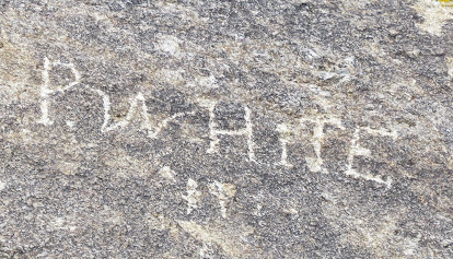
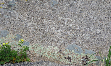
The rock made an inviting canvas to the travelers who scratched, chiseled, and painted their names on it. Many have faded or weathered away but there are still hundreds of names that can be
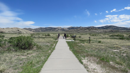
seen. A paved path with interpretive signs leads to the base of the rock and to a group of plaques and chiseled names from the 1920s. A one mile path circles the rock and it's possible to climb to the top.


The entrance to the path has a zig zag fence opening that is too narrow for a wheelchair. The gate next to it has a chain without a lock so it can be opened.The paved path is accessible. When it reaches the base of the rock turn left to see the 1920s names. The path becomes dirt after that and too rough to traverse. Backtrack and continue on the gravel path to see more names. This path has some sections with loose, deep gravel but can be done with assistance. Turn around at the wooden zig zag fence opening. I think that most of the names are on the level top of the rock but there are still a few to be seen from the path.


This is also a rest area with restrooms and separate parking areas for cars, trucks, and RVs. The RV section is large but the truck parking faces towards it so it can be noisy. There's more RV parking near the entrance to the path where it's a little quieter. There's also a dump station and potable water. Rock 42.4928, -107.13711


No comments:
Post a Comment