Nothing at this museum is truly accessible but some of it can be experienced with assistance. Understandably, the mine tour is not accessible due to the rough and uneven ground. Although the mine shafts go down 2700 feet, the tour just reaches the 100 foot depth by walking down a long, sloping walkway.
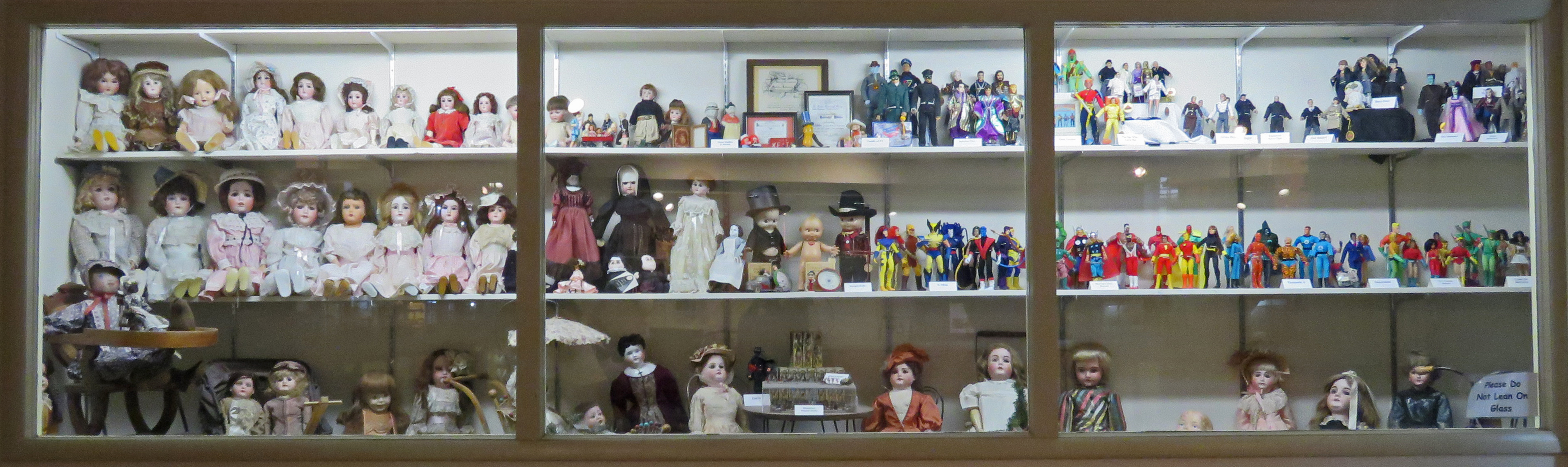
After navigating a rough patch to get to the entrance, the museum/gift shop is accessible. A room displaying a collection of dolls and doll houses is accessible.

The mining town has bumpy brick streets and boardwalks with extremely steep ramps or no ramps at all. The buildings are not opened but have plexiglass windows to view the interiors. Some windows are too high to peek in from a seated position.

 The building housing the engines has a ramp on the side and is accessible. Go around to the back of the building to access the basement floor which has a mock up of a mine. The memorial to the hundreds of miners who were killed while working Butte’s mines is accessible.


The grounds where the old equipment is stored are rough and uneven.