Friday, October 16, 2020

David Owsley Museum of Art

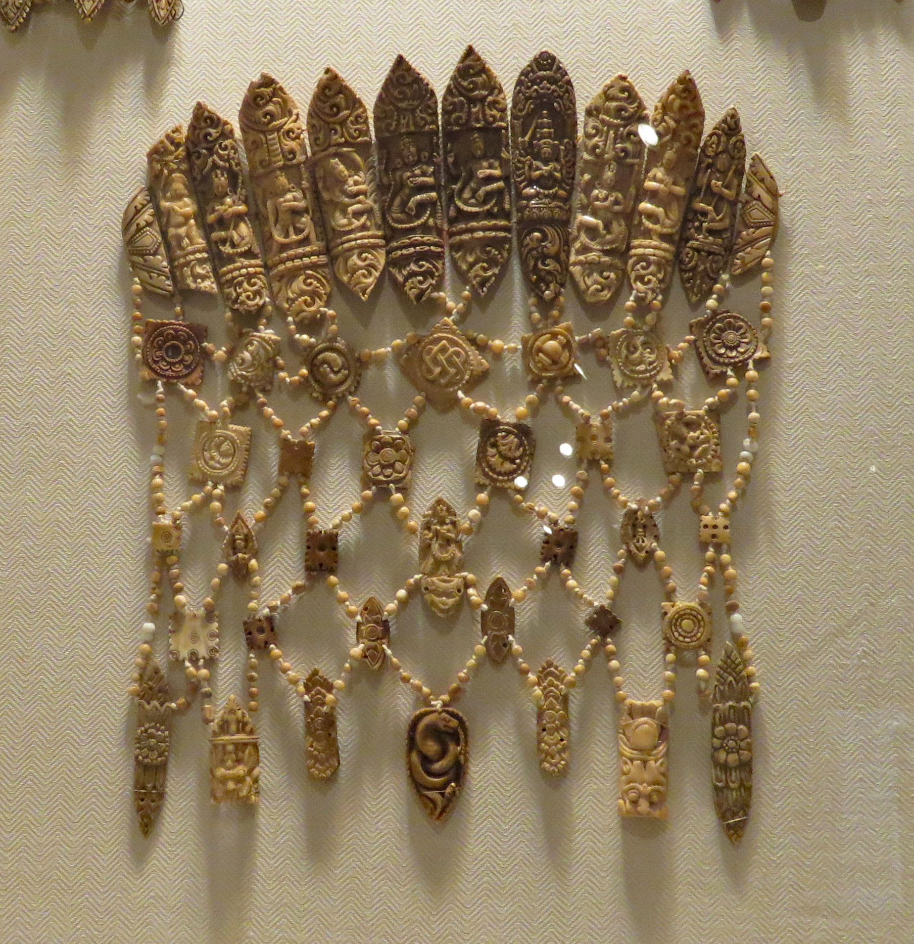
  Ball State University owes it’s existence to the Ball family, manufacturers of Ball brand mason jars, who bought and donated a foreclosed teacher’s college to the state of Indiana in 1917.  Several members of the family became enthusiastic art collectors, eventually donating over 3,000 pieces to the art museum. The museum’s collection is extensive and includes Ancient, African, Asian, Oceanic, American, European, and Modern and Contemporary art.


  The museum is accessible. The only entrance with a ramp is on Riverside Ave.

   Weekends are the best time to visit due to very limited parking when classes are in session. The one way street, south of the museum marked as P11 and R11 on the parking map, is the easiest place to park an RV. Museum  40.19855, -85.41011

Wednesday, October 14, 2020

Ronsheim Campground

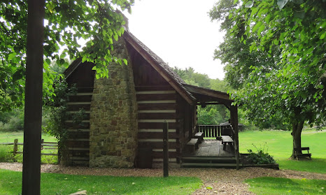
  In the 1960s the Ohio state government bought large tracts of land that had been strip mined. Trees and grasses were planted.The stripped lands are now state forests and open for public recreation such as fishing, hiking, hunting and camping. Harrison State Forest has two small campgrounds, Trailriders and  Ronsheim. Both have paved parking pads, fire rings, picnic tables, and vault toilet. Both are free but campers must sign in.
  Ronsheim has seven sites, three are on the hillside and the other four are on the flat land. None of the sites are designated as accessible but most are usable. Campground   40.32993, -80.98828


Monday, October 12, 2020

Historic Fort Steuben

    After the Revolutionary War the US Congress passed the Land Ordinance of 1785. Land west of the Appalachian Mountains was  divided into 6 mile square townships which were then divided into 36 sections, each 1 mile square. The money raised by selling the land provided a revenue stream for the new country.

   The fort was built to protect the surveyors from the Native Americans who lived in the area.  Fire destroyed the fort in 1790 and it never rebuilt because by that time the surveying teams had moved farther west. A replica of the fort has been constructed on the original site. The fort buildings and the small museum are filled with a remarkable number of artifacts. The First Federal Land Office has been relocated on the grounds and can be toured. 

 
   The museum is accessible. The automatic opener mechanisms on the doors do not work well so the doors must be pushed to open. Most of the fort buildings have ramps but there are many small obstacles  – loose gravel, uneven ground, steep ramps, and high thresholds. It would be difficult to visit without assistance. The Land Office has steps and is not accessible.

  Small RVs and vans will fit in the parking lot. Large RVs can be parked on Adams Street. Fort  40.35861, -80.61383

Sunday, October 11, 2020

Cumberland Visitor Center–C&O Canal Tow Path

   The first shovels of dirt were tossed aside on July 4, 1828 at the groundbreaking ceremony for the C&O Canal. Twenty-two years later the canal stretched 184.5 miles from Washington, D.C., to Cumberland, Maryland  and included 74 locks, 7 dams, 11 aqueducts and a 3,118-foot tunnel. Over the next 74 years canal boats transported thousand of tons of diverse cargo such as flour, coal, whiskey, bricks, ice, pork, and potatoes. The canal was totally abandoned by the early 1930s when competition from the railroads and flood damage made operating it economically impractical.

  The canal was designated a National Historical Park by President Nixon in 1971. The tow path which is mostly gravel and dirt is maintained for hiking and biking. We went a short distance both north and south from the Cumberland Visitor Center. We also crossed the canal to visit George Washington's Headquarters.

  South of the visitor center the the tow path goes from pavement to boardwalk and then to gravel. Going north the tow path connects to the Great Allegheny Passage which continues for another 150 to Pittsburgh, PA.  The section through the city is paved but I think it soon becomes gravel.

   To get to George Washington's Headquarters follow the ramp to upper level of the old train station. Sections of boardwalk make crossing the tracks fairly easy. Another ramp goes down to the headquarters which is a small cabin used by Washington in the 1700s during the French and Indian War and the Whiskey Rebellion. The cabin is not opened and there isn’t a ramp to access the porch. A push button is within reach and activates a recorded historic account. There are also interpretive signs.
   The visitor center was closed due to coronavirus but it does have a ramp for access.

   We parked in the accessible parking spaces on Canal Street. We stuck out in the street a bit but there wasn’t much traffic so it was okay. A pay lot is adjacent to the accessible parking. It’s a little too small for RVs but RVs should fit in the free parking lot on Howard Street under Interstate 68. Watch the overhead clearance.  Visitor Center  39.64962, -78.76268

Saturday, October 10, 2020

Allegany Museum

     An abundance of coal and and a good transportation network consisting of the National Road, (the first federally funded road), the C&O Canal, and several railroads helped make Cumberland, Maryland a major manufacturing site. The museum exhibits cover breweries, glass making, and tire manufacturing along with some of the smaller businesses. Unfortunately the last of the industries closed in the 1980s.
      
    The museum has two unusual exhibits – the carvings of folk artist Claude Yoder and four amazingly detailed scenes from Sleeping Beauty that were originally displayed in the windows of Saks Fifth Avenue in New York City. They were rescued by Gary Baer, a Myersdale, PA toy store owner, and are on loan to the museum.
  
   The museum is in the process of adding a large new exhibit on the development of Cumberland as a transportation hub. We got a sneak peak and what we saw looked very interesting.
   Everything is accessible but a word of caution. The elevator acts up. It stopped working and the person that fixes it lives miles away. Tony had to thump me down two flights of stairs with a worker in front just in case he slipped.

  The parking lot is small. Our 25’ motorhome is about the limit that will fit. There’s a free parking lot on Howard Street under Interstate 68. Watch the overhead clearance.  Museum  39.65004, -78.76206

Friday, October 9, 2020

South Park Trails

   This is the park of my childhood filled with memories of late summer county fairs  and ice skating in the winter. More memories as an adult include company picnics, family gatherings, birthday parties, free concerts, sled riding, and just hanging out under the trees. We really just took it for granted but with coronavirus limiting  person to person interactions on our annual visit to Pittsburgh we were grateful to have such a large and pretty place to enjoy.

  The park was established in 1927 to preserve green space in the middle of rapidly growing suburbs. The Citizens Conservation Corp, Civil Works Administration, and Works Progress Administration programs of the 1930s built picnic groves, buildings for equipment, reservoirs, and fences; planted trees; and made hiking trails and bridle trails. The park today is over 2,000 acres and includes a golf course, ballfields, wave pool, picnic shelters, skate park, trails, nature center, dek hockey rink,  ice rink and many playgrounds.

       There are two paved trails for walking and bike riding. The wide, smooth Corrigan Walkway runs beside Corrigan Drive, the main road that cuts through the middle of the park. Maple Spring Loop is a narrow path the climbs the hills and travels through forests and meadows. Corrigan Walkway is completely accessible. Maple Spring Loop has very steep sections and most wheelchair users will need assistance.
    Numerous parking lots are large enough for RVs. Trails  40.30755, -79.9991


Thursday, October 8, 2020

Oliver Miller Homestead

  Oliver Miller and his family were among the first settlers to cross the Allegheny Mountains and claim land on the western side. They cleared the land, built a log house, and planted crops. When Miller died in 1782 his youngest son James inherited the house and a share of the land. His brothers William, John, and Thomas also received a share of the land. All of them grew corn which could be distilled into whiskey to sell for cash.

  In 1791 the young government of the United States, in a move to  pay off debts from the Revolutionary War, passed a tax on whiskey. This was strongly opposed by the farmers. Tensions rose and when the Inspector of the Revenue, John Neville, came to collect the tax from the Millers, he was driven off by an angry mob. The next day a group of men marched to the home of Neville. Neville fired into the crowd and killed a grandson of Oliver Miller. In retaliation the men returned the next day and burnt Neville’s house and barn to the ground.

  The Whiskey Rebellion was quickly quelled when George Washington personally led an army of 13,000 militiamen to Pennsylvania. The farmers had largely returned home and did not confront the army. About twenty men were arrested but later acquitted or pardoned. The whiskey tax was repealed in 1802 and reinstated after the Civil War.

  The log house is long gone but five generations of the Miller family lived on this land and built the stone house adding rooms over a thirty year period in the early 1800s. The house is furnished to reflect this time period. A log house, a blacksmith shop, a crafts building, and a large barn with a giftshop and displays have been built to represent a working farm of the 1830s. A group of volunteers, dressed in period clothing, are on site every Sunday May to December. The grounds are closed on all other days and can only be viewed from the parking lot. We visited during a special event – Preserving the Harvest.


   The site is not accessible. The paths are covered with wood chips. The grounds are hilly. The stone and log houses have steps.

  The parking lot is large enough for any vehicle. Homestead  40.31928, -80.00608