We
camped at the wildlife refuge in 2016 and really liked the campsites that are on the shoreline of Upper Pahranagat Lake. But other people like it too and, since it's first come/first serve, it's always a gamble on whether a site will be open. If there aren't any sites open there's a large lot across the street from the entrance that people use as an overflow area.
The one accessible site was occupied but we were lucky and could stay in Site 10 since we fit even though the site has a 21' max length. There are three sites on this short road the loops off of the main park road. It's too narrow and tight for RVs longer than 25" so it doesn't get a lot of traffic. Site 11 is always the last site taken because the parking pad is very short and there's a steep hill up to the picnic table. Good in a pinch if you have a short vehicle.
Two trails that we didn't try on our last visit are now designated as accessible and most of the other trails are rated easy so we wanted to try some of them.
Pahranagat Loop and Cabin Trail
Both of these trails are accessed from the visitor center. The Pahranagat is a .4 mile loop. The Cabin Trail is .8 miles out and back. There's an option to make it a loop by following a gravel road but we backtracked because the path was in better condition. Both trails are packed sand or gravel and travel along roads or paths. The Cabin Loop has several spots with loose sand. Wheelchair users may need assistance. The two cabins, one wood and one stone, are not opened to tour. Bats spend the day in the stone cabin and a volunteer said it's a good place to watch them leave at dusk.
Black Canyon Loop
The loop is 1.25 miles long and goes past many petroglyphs. They're a little hard to spot and not as varied as ones we've seen at other sites. Binoculars are helpful to see them better. Dots in a grid are the most common. There are also a standing figures known as Pahranagat man and and bighorn sheep. This trail is designated as accessible but it has loose sand in spots and a steep hill. Wheelchair users may need assistance. A large gravel parking lot is large enough for any vehicle. A smaller lot has paved accessible spaces.
Upper Lake Trail
This 3 mile trail circles Upper Pahranagat Lake making use of the campground road on the east side and a service road on the west side. The campground road is hard packed gravel and dirt and very easy to roll along. The service road is gravel and dirt with some loose spots and a long steep hill. Wheelchair users may need assistance on this section. 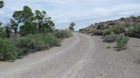
Four more
trails are designated as easy so we'll have more to see and do when we visit again!
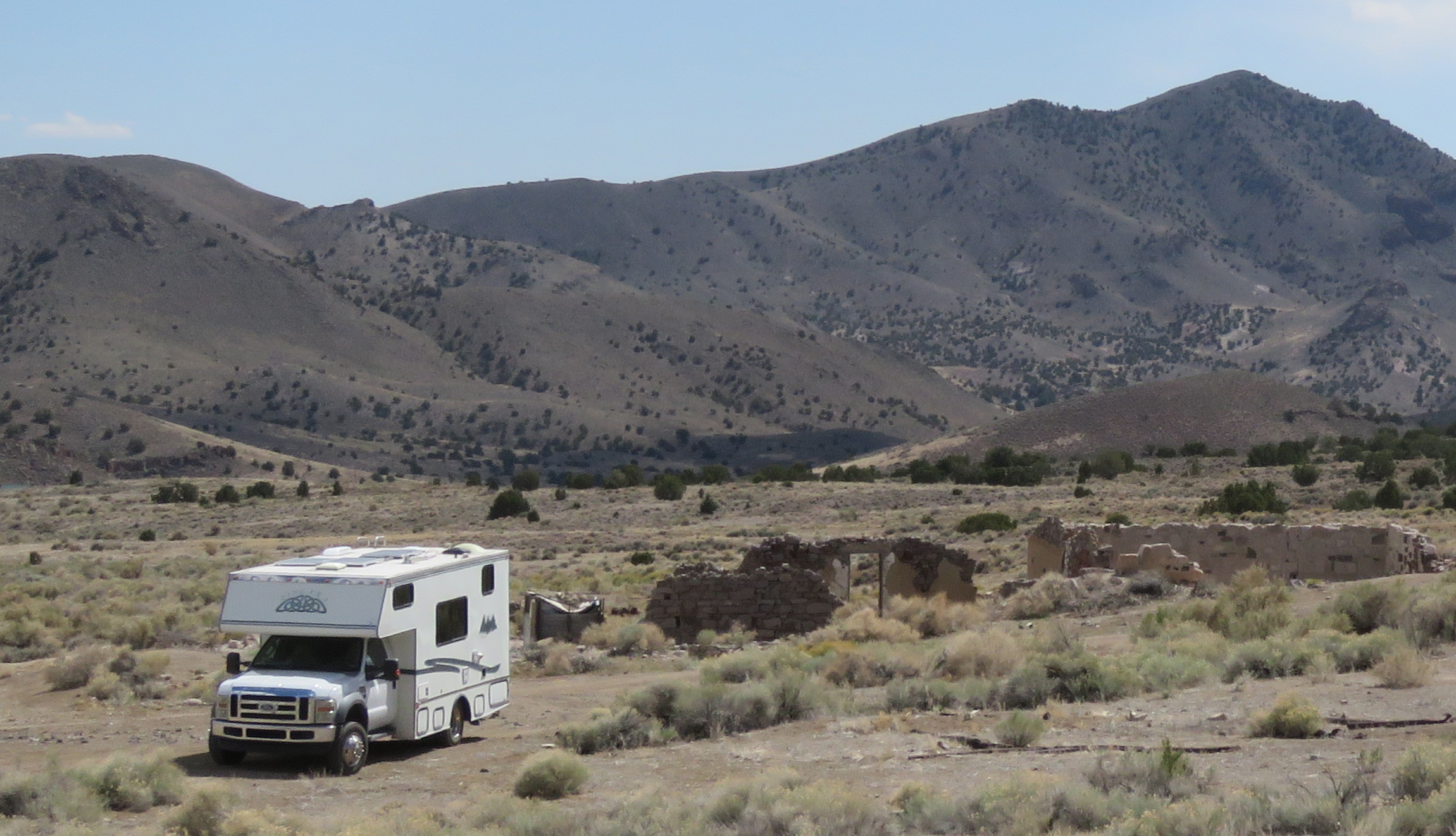
Camping is free with a fourteen day limit. There's kiosk at the beginning of the camp area with a log book to sign in with your name and number of days you're planning to stay. When making rounds, the camp host stops at the campsites and takes additional information. It worth making a trip though the camp area even if there's a sign indicating that it's full because people leave in the morning before rounds. If you leave for the day and are planning to return mark your space as occupied. There are parking lots at the start and end of the camping area for day use. Refuge 37.2872, -115.11871


 The twelve rooms of the fort open into a center courtyard and include a telegraph office; a large kitchen and dining room; a laundry room; guestrooms; and the Hinkley's living quarters. All of these are open to tour and are furnished with period pieces. A barn, blacksmith's shop, ice house, and a bunkhouse are located on the grounds outside the fort. The log house where the Hinkelys lived before moving to the fort was dismantled, moved 200 miles from Coalville, Utah, and reconstructed across the street from the fort. Stop there first to see a short video of the history of the family and the fort.