Sunday, May 31, 2020

Ward Charcoal Ovens

  These ovens are in amazing condition, a testament to the craftsmanship of the Italian masons who built them in the 1870s. The ovens supplied charcoal for the smelters in the silver mining town of Ward located about 2 miles northwest. By 1880 the silver was mined out and a fire destroyed most of the town in 1883.
    A short path from the parking lot leads to the ovens. A network of trails, including an interpretive loop, circle the area.
    The path to the ovens is brick and would be completely accessible if not for the poor condition where it meets the parking lot. The other trails are not accessible due to rough and steep surfaces.
    About seven miles of good dirt road provides access to the site. The last part may get muddy in wet weather. The road is suitable for any RV. The parking lot is large enough for any RV. Park 39.03738, -114.84619
https://www.google.com/maps/d/edit?mid=1gxKwv9ahfkSb9e6MLeSt0hMDxaY&msa=0&ll=39.03751583121591%2C-114.84654286385842&z=19

Thursday, May 28, 2020

Ely Murals

   Thirty-one murals and sculptures commissioned by the  Ely Renaissance Society depict the history of Ely and the ethnic diversity of the immigrants who settled in the area. Most are located along a 10 block stretch of Aultment Street in Ely’s historic downtown.
   All of the sidewalks have curb cuts but many do not meet the street evenly so wheelchair users may need assistance. It’s possible to see all of the murals without leaving your vehicle.

   The Hotel Nevada has a parking lot reserved for trucks and RVs. Overnight parking is permitted. Even though the casino was not opened due to coronavirus precautions we were able to stay overnight. Murals 39.24768, -114.89141
https://www.google.com/maps/d/edit?mid=1gxKwv9ahfkSb9e6MLeSt0hMDxaY&msa=0&ll=39.247616390881845%2C-114.89159833900649&z=19

Saturday, May 23, 2020

More Humboldt-Toiyabe NF Boondocking

   All the national forest lands in Nevada are managed jointly even though the sections are widely separated and spread across the state in long fingers following mountain ranges. In keeping with our plan to spend much of the summer in rural Nevada we moved to a section closer to Ely. It’s similar to our last boondocking spot with a fairly flat sagebrush valley on the edge of a pinion pine and juniper forest.
   There are three or four boondocking sites in the valley. They’re old jeep and ATV trails have been closed off with large rocks. Most are sloped and require leveling. Our spot is the largest and most level. We took several walks/rolls into the forest and found some more large and fairly level sites under the trees.
   The road is in very good condition and should be fine for large RVs however there aren’t any good spots to turn around. That might be a problem if you’re towing and can not back up into a site to turn around. Forest  39.21216, -114.95178
https://www.google.com/maps/d/edit?mid=1gxKwv9ahfkSb9e6MLeSt0hMDxaY&msa=0&ll=39.21213247878316%2C-114.95178&z=13

Sunday, May 17, 2020

Humboldt-Toiyabe NF Boondocking

   This is one of the quietest and darkest places we’ve camped.  Forty miles and a mountain range separate it from Ely, the nearest town, which has a population of only 4,000.

   We camped in the sagebrush flat land at the base of the Red Mountains. The trees have been cut down recently but the sagebrush growth is fairly thick so there aren’t many places to camp. Our camping spot was actually a little used shortcut road. We took a walk north into the foothills and found a couple of clearings in the forest that are large enough for campsites.
     
    
                Since there aren’t many places to camp or turn around this area is not suitable for large RVs. Forest  38.850104, -115.259978
https://www.google.com/maps/d/edit?mid=1gxKwv9ahfkSb9e6MLeSt0hMDxaY&msa=0&ll=38.850076552222035%2C-115.25997799999999&z=13

Wednesday, May 13, 2020

Sportsmans Park

   Sportsmans Park has two small fishing lakes, one reserved for fly fishing only. The lakes are managed by the local Rotary Club and are well cared for with shade shelters, picnic tables, grills, and trash cans. There's also a vault toilet in the parking lot.
   The surrounding area is almost all BLM land so camping in the gravel lot is permitted. If you wish to be in a more isolated area, take the center or right fork of the entry road of off Route 376. The left fork goes to Sportsmans Park. Park  38.19124, -117.07909
https://www.google.com/maps/d/edit?mid=1gxKwv9ahfkSb9e6MLeSt0hMDxaY&msa=0&ll=38.21809045567524%2C-117.09356169350417&z=13

Sunday, May 10, 2020

Belmont Courthouse and Silver Rush Buildings

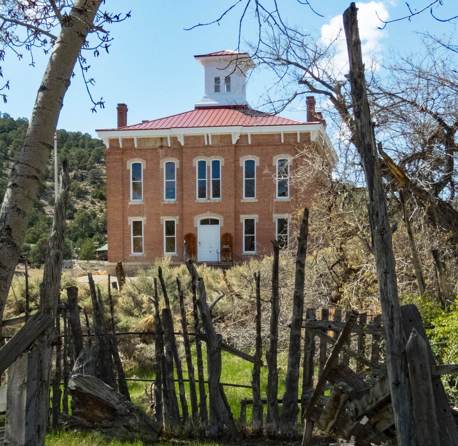
  When Belmont was founded in 1865 the population of Nevada was less than 10,000 and Las Vegas was a just a ranch. But Belmont was booming from a silver strike. Even though it was isolated in the sparsely settled center of the state, Belmont was named the county seat of Nye County in 1867. A large brick courthouse was built in 1876 and used until 1905 when the county seat was moved to Tonopah.

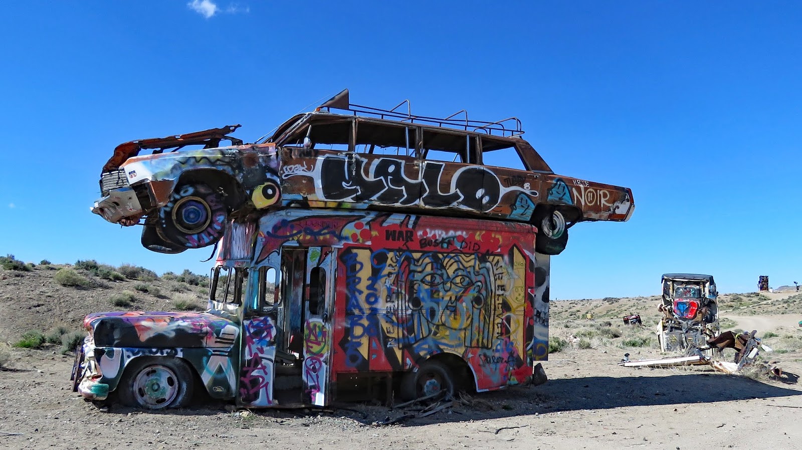
   Like most gold and silver mining towns Belmont’s boom didn’t last long and many of the current dwellings in town are either new or trailers and RVs used by summer residents. There are still a few ruins of silver rush buildings on both sides of Main Street and old equipment is lined up in empty lots. Several intact wooden and brick buildings are scattered around the town. The courthouse is in good condition but closed for renovations. The 1880s stone Philadelphia House is opened for lodging and meals in the summer. The ruins of the large 40 stamp Combination Mill is located about a mile southeast of Belmont.
   Belmont is not wheelchair accessible due to steep streets and gravel lots but it can all be seen without leaving your vehicle.

   A large gravel lot with restrooms and picnic tables is located in the middle of the town. Stop here to pick up a walking tour map. The lot is large enough for any RV. We stopped at Belmont Camp, a forest campground cared for by the town, where we intended to spend the night but found it very sloped and dusty so we ended up at a large pull off a few miles south of town. Belmont  38.59542, -116.87539
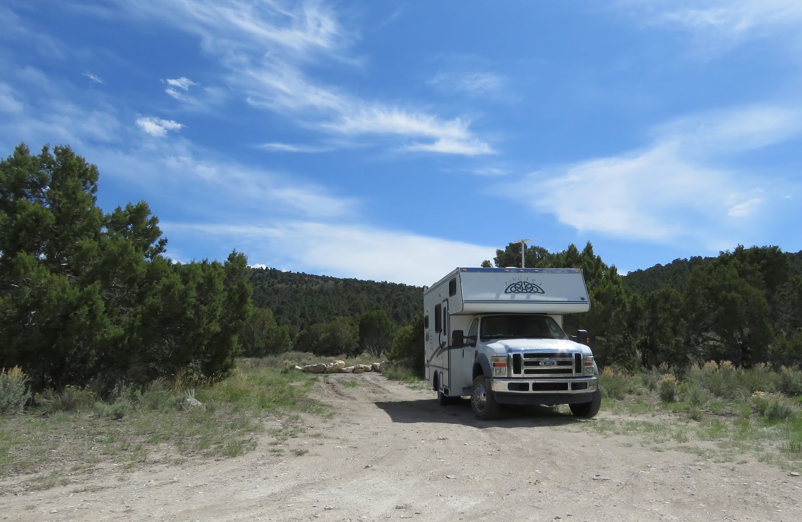
ps://www.google.com/maps/d/edit?mid=1gxKwv9ahfkSb9e6MLeSt0hMDxaY&msa=0&ll=38.59718847762675%2C-116.87796562065432&z=16

Thursday, May 7, 2020

McKinney Tanks Summit Boondocking

   Remains of a working ranch are scattered around this section of BLM land. Near a large cottonwood tree, rocks outline the foundation of a house and a large pile of rusted cans marks a long used trash dump. Farther down the dirt road stands the remains of a long, narrow, stone building. A spring feeds a water tank that attracts a young, wild horse. Nearby a livestock water trough is slowly deteriorating. I searched for information on this place but couldn’t find anything about the people who tried and failed to establish a life in the hills of the high desert.
    There aren’t a lot of places to camp because of the hills. A large clearing by the cottonwood tree is pretty good although it’s sloped so leveling is necessary. There’s also a pull-through loop by the stone building. Follow the dirt road up the hill to get to a clearing on the level top. Follow the left fork of the dirt road to the cliff base to find a few camping spots near the red rocks. Do not camp by the water tank to avoid disturbing the wildlife.
    There’s a good flat area right off of US 6 after the cattle guard where large RVs will fit. It’s also a good place to park and walk down the road to check the conditions. The dirt road is narrow and has dips and uneven spots and is not suitable for large RVs. Tanks  38.10196, -116.91039
https://www.google.com/maps/d/edit?mid=1gxKwv9ahfkSb9e6MLeSt0hMDxaY&msa=0&ll=38.10251829424702%2C-116.91316183970338&z=16

Saturday, May 2, 2020

The International Car Forest of the Last Church

   Starting in 2002 and working until 2011, Mark Rippie and Chad Sorg planted forty cars, trucks, and buses in the desert on the outskirts of the tiny semi-ghost town of Goldfield, Arizona. The two friends and artists used backhoes and trucks to leverage the vehicles in place and then invited people to create art on the metal surfaces. Unfortunately, everyone isn’t talented and spray-painted names have obliterated some of the best art.


   Most of the vehicles are in a flat area surrounded by hills which is accessible with assistance. It’s possible to drive close enough to view most of the vehicles.
   The road to the Car Forest is dirt with steep sections. It looks like it gets very muddy when wet. We did not have problems with our 25 foot RV but driving on the roads with large vehicles is not recommended. Forest  37.70062, -117.23147